
The South has had a gloomy couple of days and Friday was no different, with 24 hour rainfall totals exceeding 2" in some locations:
 That rain will continue through much of the weekend and into early next week, eventually getting into parts of the Florida Peninsula:

This is great news for the ongoing drought, especially in the hardest hit areas of the Florida Panhandle. The below time lapse from Lake Jackson near Tallahassee shows just how drastic the changes have been from July 1 to Dec 1:
Further north, parts of the Mid Atlantic saw their first measurable snowfall of the season! The I-81 corridor up into the Washington, DC area all received snow, with totals 2-4" range with a few locally higher amounts:

This included Virginia Tech, where snow mostly fell overnight:
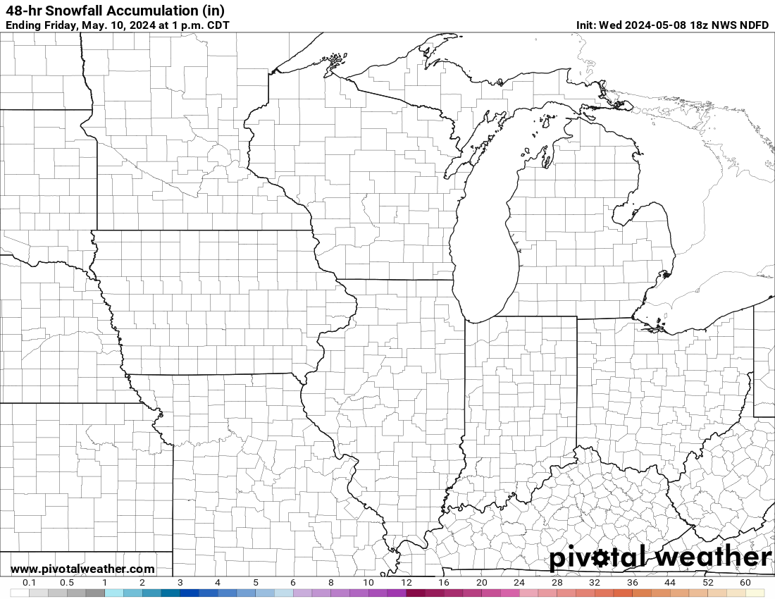
This weekend, another system will not only pull down a reinforcing shot of cold air, but will also bring another swath of significant snow to parts of the Midwest. In fact, there are already alerts up:

Totals will generally be in the 3-5" range but higher amounts are possible, especially within the Winter Storm Warning:
Timing will be Saturday Evening through Sunday Morning:
 Behind this system, another shot of cold air gets pulled south and could set the stage for several more rounds of snow over the next week. The below is the 7 day temperature anomaly from Mon Dec 8 to Mon Dec 15:

And you can see the potential rounds of snow across the mostly Northern Tier of the country, starting with this weekend's and going into the middle of the month:
 Of particular interest is late next week across the Mid Atlantic yet again. A long way to watch it but the model trends have indicated the potential for more snow for that region. Below is the last 3 Euro Model runs valid Fri Dec 12 at 1 pm:
 Stay tuned for more information on that system!
Weatherstem
Real-time weather monitoring for the organizations that can't afford to guess.
Professional hardware, live HD camera, automated alerts, and software — installed and managed for you. 900+ stations deployed nationwide across emergency management, athletics, and commercial operations.
Book a Free Demo

