During a major wildfire, the Emergency Operations Center (EOC) serves as the central hub where information from multiple agencies is brought together to coordinate response efforts, maintain a shared understanding of evolving conditions, and support critical decision-making. Agencies must make rapid decisions about evacuations, resource deployment, public messaging, and responder safety. Weather influences nearly every one of those decisions. By combining forecasts, real-time weather observations, live cameras, and incident data, EOCs can maintain situational awareness and support informed operational decision-making.
Why Weather Is Critical Inside an EOC
Weather affects many aspects of emergency managers' decision-making during wildfire response. Incident coordination and resource deployment not to mention responder safety are a few of the more important aspects. Knowing current wind speed and direction helps determine where crews and resources should be deployed, which evacuation routes remain safest, and where responders can operate most effectively.
The goal is not to simply know the weather forecast, but to understand how changing weather conditions may influence ongoing operations.
What Weather Information Do EOCs Monitor?
With so many sources of information, it's important to know what each one provides to streamline operations.
National Weather Service Forecasts
These include your basic forecasts for things like temperature, humidity and wind speed but also fire weather watches and red flag warnings. These forecasts provide advance planning information, while real-time observations confirm whether conditions are unfolding as expected.
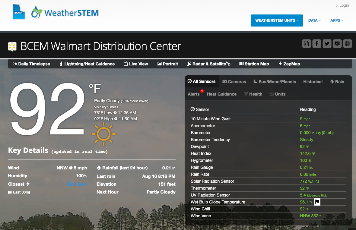
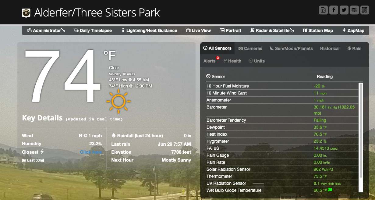
Real-Time Weather Stations
These provide current conditions and can signal exactly when and where conditions are improving or worsening. The more observations the better as conditions can vary greatly over a short distance, especially in locations where terrain is an issue.
Live Weather Cameras
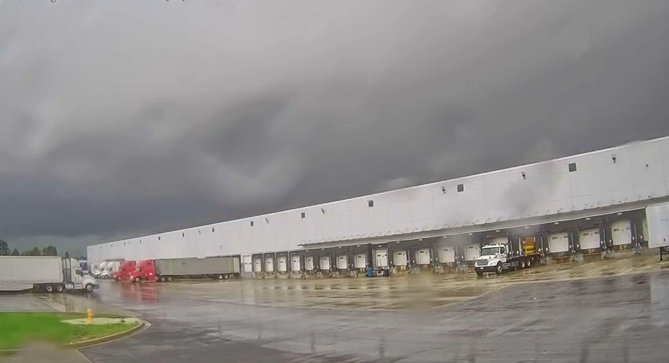
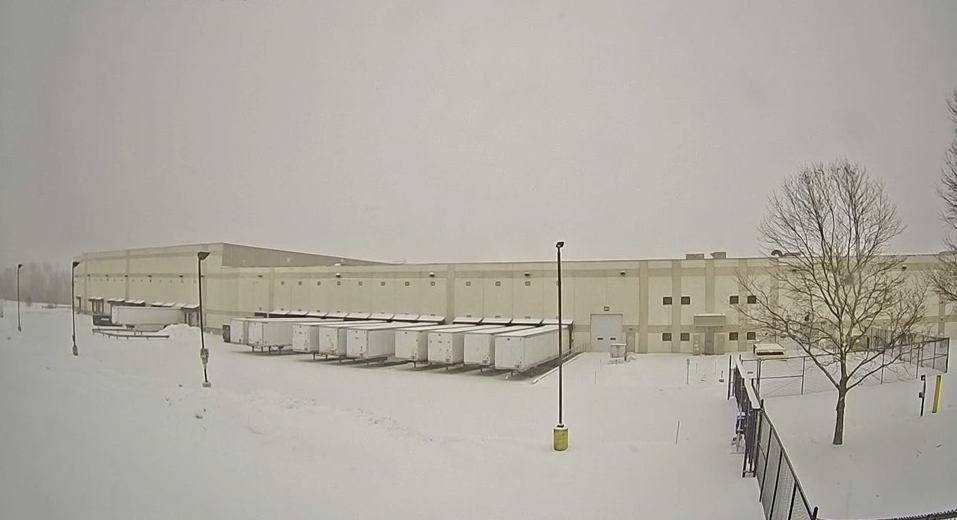
Live weather cameras provide visual confirmation of fire behavior, smoke movement, visibility, and changing conditions. They also help verify reports from the field and improve communication between agencies operating within the EOC.
Lightning Detection
Not only is lightning dangerous to fire fighter crews and first responders, it can also ignite new fires. Knowing when and where each lightning strike occurs can provide situational awareness to monitor for new ignition sites.
Smoke Monitoring
Wildfire smoke not only presents a health issue for first responder crews, but also can cause visibility issues which can impede rescue efforts and evacuation routes. Monitoring its movement and intensity is just as important as monitoring the actual fire.
Operational Decisions Supported by Weather Data
Let's break down all of the decisions that weather data can support.
Evacuation Planning
Weather influences every aspect of evacuation planning and execution. Timing is the most important and weather conditions will give insight to the best time to evacuate. It also influences the routes that should be taken. Are the winds blowing the fire toward a main route? Then an alternate should be selected. Being able to incorporate precise details like this allows for more detailed public messaging.
Resource Deployment
Resources need to be placed in a location not directly in the path of a fire's advancement. Hyper-local weather observations help make more precise decisions for this. In addition, fire fighting aircraft need to know if conditions are safe to fly. If the wind speeds are too strong, then they must stay grounded. Knowing exactly when conditions meet the safe criteria allows for quicker resource deployment. Weather information also helps determine where staging areas should be established and whether resources may need to be repositioned as conditions change.
Responder Safety
How are weather conditions going to impact first responder safety. Is it too hot to send crews out for longer durations? Is there smoke in the area which requires different equipment to operate safely? Lightning can also threaten first responders who are often working in conditions with no shelter so getting lightning alerts can keep them as safe as possible.
Public Information
Access to local weather observations helps improve communication with the public. This includes weather briefings, messages about smoke, and even road closures due to poor conditions. It allows the public to take protective actions based on weather data local to them. Because weather conditions often vary across a county or region, hyper-local observations help emergency managers communicate more accurate information to affected communities.
Recovery Planning
After a fire has been contained, the recovery process can begin. Weather information is just as important during this period. Heavy rainfall can lead to flash flooding, especially over burn scars where vegetation has been eliminated. Damage assessments also depend on weather information so that assessors can go out when conditions are safe enough.
Building a Common Operating Picture
Bringing together all critical information in one dashboard will increase efficiency in decision making. Overlaying weather observations and live cameras on the same map as fire perimeters, road closures, and evacuation zones keeps all important information in one common place. Radar, lightning, and smoke plumes can also be included, creating a common operating picture that supports operational decision-making.
Having a single dashboard reduces the need to switch between multiple applications during rapidly evolving incidents, allowing decision-makers to spend more time responding and less time searching for information. This shared view helps ensure everyone in the Emergency Operations Center is making decisions from the same up-to-date operational information.
Why Live Weather Cameras Matter in an EOC
Live cameras help emergency managers verify smoke movement, confirm visibility for road conditions, and monitor changing weather conditions. Visual confirmation helps emergency managers verify conditions, improves communication between partner agencies, and enhances public messaging by showing what is actually occurring on the ground.
The video below shows wildfire smoke turning the skies over eastern Massachusetts red, demonstrating how live cameras provide immediate visual confirmation of changing conditions.
Best Practices for EOCs During Wildfire Incidents
To support effective wildfire response, consider the following best practices:
- Monitor forecasts continuously
- Compare forecasts with actual observations
- Keep cameras visible during briefings
- Share one common dashboard that includes all necessary information
- Coordinate with the National Weather Service
- Document weather impacts on emergency response
Bottom Line
Weather influences nearly every operational decision made during a wildfire incident. By combining forecasts with real-time observations, live cameras, and shared situational awareness tools, EOCs can improve coordination, support informed operational decision-making before, during, and after wildfire incidents.
Looking to improve weather-driven decision support in your Emergency Operations Center? Weatherstem combines weather stations, live cameras, lightning detection, and shared dashboards to help emergency managers maintain situational awareness throughout every stage of wildfire response. Contact Weatherstem to learn more.
How do Emergency Operations Centers use weather data during wildfires?
Emergency Operations Centers use weather forecasts, real-time weather observations, live cameras, lightning detection, and smoke monitoring to support evacuation planning, resource deployment, responder safety, and public communication throughout wildfire incidents.
What weather information is most important during a wildfire response?
Wind speed and direction, relative humidity, temperature, lightning, rainfall, smoke movement, and National Weather Service fire weather products all provide critical information that helps emergency managers make informed operational decisions.
Why are live weather cameras valuable in an Emergency Operations Center?
Live weather cameras provide visual confirmation of fire behavior, smoke movement, visibility, and changing conditions. They help verify field reports, improve communication between agencies, and strengthen situational awareness during rapidly evolving wildfire incidents.
What is a common operating picture during a wildfire?
A common operating picture combines weather observations, live cameras, wildfire perimeters, road closures, evacuation zones, lightning data, and other operational information into a single shared dashboard. This helps agencies coordinate more effectively and make informed decisions during an incident.

Weatherstem provides real-time weather monitoring, lightning detection, and automated alerting systems for emergency management, government agencies, athletics programs, and commercial operations. 900+ stations deployed nationwide.
Weatherstem
Real-time weather monitoring built for compliance and life-safety decisions.
Professional hardware, dual lightning detection, automated alerts, and permanent data logging — installed and managed for you. Used by emergency management agencies, athletic programs, and government operations nationwide.
Book a Free Demo