A flood watch can include the possibility of flash flooding or river flooding. It means conditions are favorable for flooding, while a flash flood warning means flash flooding is occurring, imminent, or otherwise poses an immediate threat within the warned area. If you're used to hearing about a "flash flood watch," that's because the National Weather Service (NWS) issued them routinely until late 2021. Today, when heavy rain is the cause, the NWS issues a single Flood Watch that covers the possibility of flash flooding. In short, a watch says "be ready," while a warning says "act now."
For emergency managers, that distinction shapes the response. A watch buys time: time to monitor developing conditions, check resources, and prepare to act if the threat materializes. A warning signals a more immediate concern, when decisions about road closures, public messaging, and response resources may need to happen quickly. Knowing which alert is in effect, and what it does and does not tell you, is the starting point for an effective flash flood response.
What is a Flood Watch for Flash Flooding?
A flood watch is issued by the NWS when conditions are favorable for flooding in and near the watch area. It does not mean flooding will occur. It means the ingredients are in place for it to be possible.
Since November 2021, the Flood Watch has covered both flash flooding and slower-developing flooding when excessive rainfall is the cause. The watch text spells out which threat forecasters are concerned about, for example by stating that flash flooding is possible due to heavy rain. The NWS still issues a separate Flash Flood Watch in a few specific situations: a possible dam or levee failure, an ice jam, or heavy rain over wildfire burn scars and areas prone to debris flows and landslides.
"Conditions are favorable" usually refers to a combination of factors: heavy rainfall is expected, the atmosphere holds a lot of moisture, and the ground or drainage systems may not be able to handle the water. Forecasters look at expected rainfall amounts and rates, how saturated the soil already is, and whether rivers, creeks, and storm drains are already running high.
Because a watch is based on forecast conditions, it is typically issued hours, and sometimes a day or more, before any flooding develops. Weather patterns that commonly lead to a flood watch include:
- Slow-moving or stalled thunderstorms that can drop heavy rain over the same area for an extended period
- Tropical storms and hurricanes, or their remnants, which carry large amounts of moisture inland
- Stalled frontal boundaries that allow repeated rounds of storms, often called "training"
- Periods of heavy rain on already saturated ground or melting snowpack
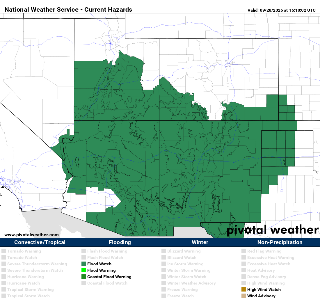
Watches often cover a large geographic area, like several counties or an entire region. That's because forecasters can identify where conditions are favorable, but can't yet pinpoint exactly where the heaviest rain will fall.
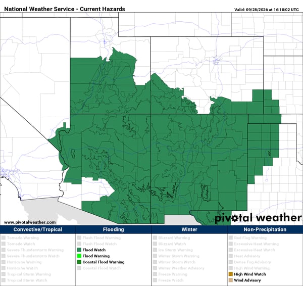 For emergency managers, the watch period is valuable preparation time. It's an opportunity to increase situational awareness: reviewing known flood-prone locations, confirming communication plans, checking that staff and resources are ready, and watching conditions closely as the event develops.
This is also where monitoring becomes especially important. Official forecasts describe the broader threat, but local observations such as rainfall totals, rainfall rates, and conditions at specific sites show how that threat is actually unfolding in your community. Tracking those conditions before flooding begins helps emergency managers recognize trouble early rather than reacting after water is already rising.
What is a Flash Flood Warning?
A flash flood warning is issued when flash flooding is occurring, imminent, or highly likely within the warned area. Where a watch is about potential, a warning is about an active or immediate threat.
The NWS may issue a warning when radar shows intense rainfall over an area prone to rapid runoff, when rain gauges or stream gauges indicate water levels rising quickly, or when flooding is reported by spotters, emergency officials, or the public. A warning can also follow a sudden event such as a dam or levee failure, or heavy rain over a burn scar.
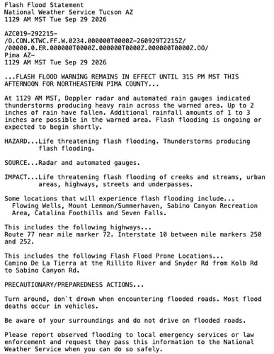 Flash floods can develop within minutes to a few hours of heavy rainfall, so warnings often come with little lead time. That's why they call for rapid awareness of changing conditions. A roadway that's passable at the start of a storm can be dangerous 20 minutes later, and conditions can shift quickly as storms move, intensify, or stall.
It's also important to understand what a warning area represents. Flash flood warnings are typically issued for defined geographic areas where the threat is greatest, making them more targeted than watches But a warning doesn't mean every location inside the polygon is flooding. Some spots may see serious flooding while others nearby see little impact. For emergency managers, the key question during a warning is where the threat is actually occurring, and that often requires information beyond the warning itself.
In the most severe situations, the NWS may issue a flash flood emergency, reserved for cases where there is a severe threat to human life and catastrophic damage is occurring or imminent.
What Is the Difference Between a Flood Watch and Flash Flood Warning?
The difference between a flood watch and a flash flood warning is timing and certainty. A watch means flooding, including flash flooding, is possible because conditions are favorable. A warning means flash flooding is happening or about to happen.
| Flood Watch | Flash Flood Warning |
|
Conditions are favorable for flooding, including flash flooding |
Flash flooding is occurring or imminent |
|
Issued ahead of a potential threat |
Issued when the threat is more immediate |
|
Provides time to increase monitoring and preparedness |
Signals an active or imminent flooding threat |
|
Can cover a broader area |
Generally covers a smaller geographic area |
In plain terms: a watch is your cue to pay close attention and get ready. A warning signals that the threat is more immediate and that conditions require closer attention. Emergency managers can use the watch period to increase monitoring and preparedness, while a warning signals that the threat requires closer attention as conditions evolve.
One practical implication: because a single Flood Watch now covers different types of flooding, emergency managers need to read the watch details closely and track local rainfall to judge whether a fast-developing flash flood threat is emerging in their area.
Why Flash Flood Conditions Can Vary Within a Warning Area
A flash flood warning identifies the area where the threat is greatest, but conditions inside that area are rarely uniform. Several factors can make one location flood while another a mile away stays relatively dry:
- Rainfall rates vary over short distances. Thunderstorms can produce intense rain in a narrow band. One neighborhood may get two inches in an hour while another nearby gets a fraction of that.
- Storms can repeat over the same location. When storms "train" over one area, rainfall totals there can climb quickly even if the broader region sees moderate amounts.
- Terrain and elevation affect runoff. Water moves downhill and collects in low spots, valleys, and underpasses, so low-lying areas can flood from rain that fell somewhere else.
- Soil conditions change how fast water accumulates. Saturated, compacted, or very dry soil absorbs less water, sending more of it into runoff.
- Urban areas drain differently. Pavement, rooftops, and storm drain capacity can cause water to pool quickly in developed areas, even with moderate rainfall.
The result is that a regional warning doesn't necessarily describe conditions at every individual location. For emergency managers responsible for specific roads, facilities, campuses, or neighborhoods, the broader alert is only part of the picture.
That's where hyperlocal weather observations come in. Measurements taken at or near the locations you're responsible for, such as rainfall at a specific intersection, creek crossing, or facility, show what's actually happening on the ground. Combined with official warnings, they help emergency managers see where the threat is concentrated and where to focus attention.
How Real-Time Weather Data Supports Flash Flood Monitoring
Official watches, warnings, and forecasts from the NWS are the foundation of flash flood response. Local, real-time weather data adds another layer: it shows how conditions are developing at the specific places you're responsible for. Emergency managers can combine official alerts with localized observations such as:
- Real-time rainfall measurements to see how hard it's raining right now at a given site
- Rainfall accumulation over time to track how totals are building over the past hour, several hours, or the full event
- Weather station observations at multiple locations to compare conditions across a city, county, or campus and spot where rain is concentrated
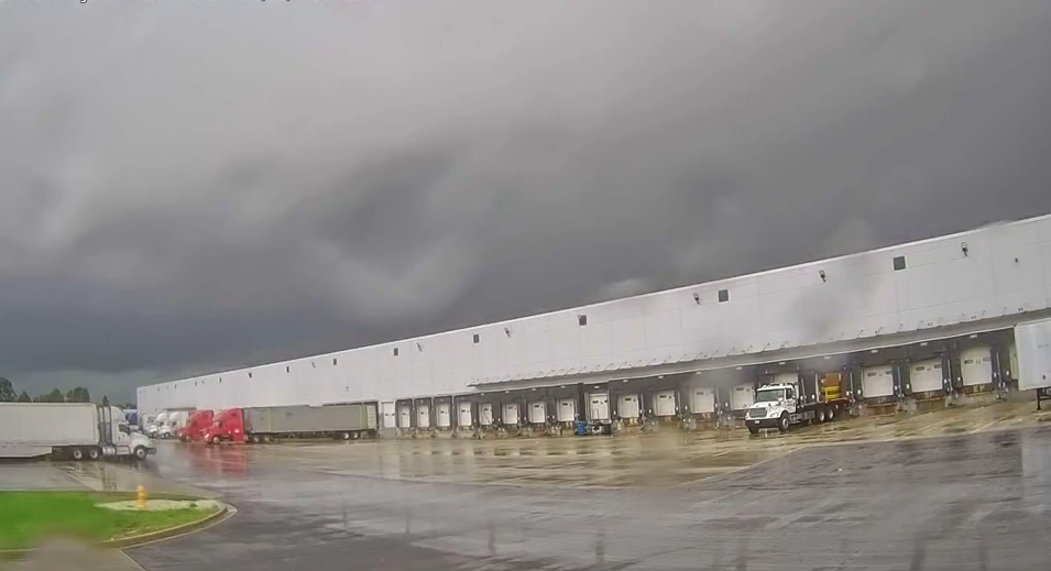
- Weather cameras to add visual context, such as standing water, rising creeks, or worsening visibility
- Automated weather alerts that notify staff when rainfall or other conditions cross thresholds you define
- Historical weather data to review what happened after an event and refine plans for the next one
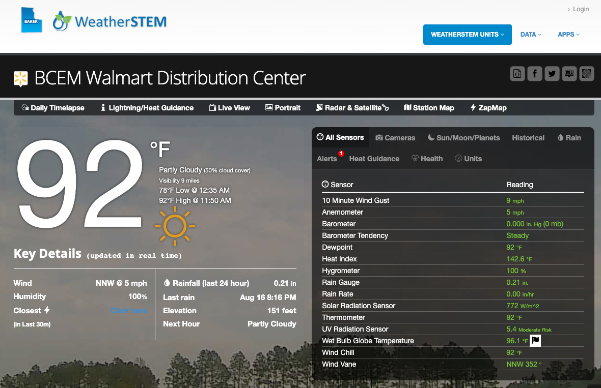
This is where Weatherstem fits in. Weatherstem is a hardware and software weather monitoring system: networks of on-site weather stations and cameras paired with a platform for viewing live data, setting alerts, and reviewing historical conditions. For emergency managers, that means ground-level observations from the locations that matter most to them, available in real time as a storm unfolds.
Local weather data supplements official watches, warnings, and forecasts rather than replacing them. The NWS tells you where the broader threat is. Local observations help you understand what that threat looks like on your streets, at your facilities, and in your community. Learn how Weatherstem can provide real-time, localized weather data for your emergency management operation.
How Should Emergency Managers Monitor Flash Flood Conditions?
A flood watch means conditions are favorable for flooding, including flash flooding. A flash flood warning indicates that flash flooding is occurring or imminent. For emergency managers, understanding both alerts is essential, but they're only part of the picture. Localized, real-time observations provide additional context for understanding where the threat is developing as conditions evolve.
What is the difference between a flash flood warning and watch?
A Flood Watch means conditions are favorable for flooding, including flash flooding. A Flash Flood Warning means flash flooding is occurring, imminent, or poses an immediate threat within the warned area.
What does a Flood Watch mean for flash flooding?
A Flood Watch means conditions are favorable for flooding, but flooding is not necessarily occurring. Emergency managers can use the watch period to monitor conditions and increase preparedness.
What does a Flash Flood Warning mean?
A Flash Flood Warning means flash flooding is occurring, imminent, or highly likely within the warned area. Because conditions can change quickly, localized weather observations can provide additional context about what is happening on the ground.

Weatherstem
Real-time weather monitoring built for compliance and life-safety decisions.
Professional hardware, dual lightning detection, automated alerts, and permanent data logging — installed and managed for you. Used by emergency management agencies, athletic programs, and government operations nationwide.
Book a Free Demo