Hurricanes create a constantly evolving operational environment with strong winds and heavy rain increasing as the storm approaches and weakening as it moves away. Emergency operation centers (EOCs) serve as the central hub for coordinating response efforts. These efforts can be delayed or halted by extreme weather conditions, making it critical to know exactly when conditions deteriorate and when they improve enough for response and recovery operations to safely resume. Real-time weather data provides the situational awareness needed to make informed decisions before, during, and after landfall. This includes everything from evacuation decisions to rescue operations and damage assessments.
Common Challenges Faced by EOCs During Hurricanes
Emergency operation centers face several challenges during hurricanes, including forecast uncertainty, communication outages, information overload, and the reliance on regional observations that may not accurately reflect conditions across the entire jurisdiction. These challenges make access to real-time, hyper-local weather data critical for maintaining situational awareness and supporting operational decision-making.
What Weather Data Matters Most During a Hurricane?
The first weather parameter that most people think of when it comes to hurricanes is sustained wind speed and wind gusts.While wind speed determines the Saffir-Simpson category of a storm, flooding and storm surge often drive the greatest operational impacts. Other parameters are just as important and include the following:
- Rainfall rates and storm totals
- Water level observations in flood-prone areas
- Storm surge values
- Lightning activity
- Temperature and heat concerns after landfall and during recovery operations
- Live camera imagery and visual verification
Forecasts are important, but operational decisions often depend on current conditions which can vary widely across a small area during a storm. For example, take a look at the wind gusts around New Orleans when Hurricane Francine made landfall in September 2024. Peak wind gusts varied widely from 29 mph to 68 mph:
This is the difference between barely knocking branches down to widespread damage. Despite being located within the same metropolitan area, wind gusts varied dramatically due to the storm's structure, local geography, and distance from the strongest portions of the eyewall. This illustrates why relying on a single observation point can create blind spots during hurricane operations.
How Do EOCs Use Weather Data Before a Hurricane Makes Landfall?
Before a hurricane makes landfall, EOCs are determining when to pull essential personnel out of the field and into safety. Monitoring hyper-local weather data versus the forecast allows trends to be determined. For example, have conditions worsened earlier than expected and should preparation tasks be halted for safety reasons? Is there a location experiencing the storm impacts before your location that can be used for comparison?
Decisions that may change due to weather include the following:
- Timing of closures like vulnerable bridges, city or county services, etc.
- Evacuation decisions
- Opening time for shelters
- When and where to safely position personnel and equipment
- Coordinating with public works, utilities, law enforcement, and fire rescue
An example of a decision that could change due to evolving weather conditions is the closure of vulnerable bridges that could be important evacuation routes. If conditions show that a storm is arriving sooner than anticipated, the decision could need to be made to shut the bridge down early. The opposite is also true.
Maintaining Situational Awareness During the Storm
Perhaps the most important part of using real-time weather data during a hurricane is for maintaining situational awareness during the storm. This allows you to track the exact conditions across different parts of the county or region. By providing a common operating picture (COP), weather data helps ensure that EOC staff, public safety agencies, public works departments, utilities, and other response partners are making decisions based on the same information. Areas experiencing the strongest winds, heaviest rainfall, or greatest flooding concerns can be identified and prioritized for post-storm damage assessments and recovery operations.
Field operations often rely on certain weather thresholds to continue. These operational thresholds vary by agency with each one establishing their own thresholds. Hyper-local weather data can allow these essential operations to continue until conditions become too bad for them to do safely.
As we mentioned above in the case with Hurricane Francine in New Orleans, conditions can vary widely across a small area so the more local observations available the better.
How Does Weather Data Support Resource Deployment and Emergency Response?
As mentioned above, dispatching rescue resources like fire trucks and restoration services like power trucks often depends on the wind speed. These resources cannot be deployed until wind levels drop back to safe thresholds. Knowing the exact time these parameters return to operational thresholds allows emergency managers to balance responder safety with the need to restore critical services as quickly as possible.
Another example is road closure decisions. Do certain roads or routes flood when rainfall exceeds a specific threshold? Having multiple readings of rainfall amounts across your jurisdiction will allow preemptive road closures before visual confirmation of flooding can be achieved.
Finally, knowing the exact locations within the county that had the highest wind gusts can allow the prioritization of response requests and debris management. If you know what part of the area had 70 mph wind gusts while another location didn’t go above 40 mph, you can allocate more resources to the hardest hit areas.
Using Real-Time Data During Recovery Operations
You may think the weather data stops being important once the storm is over and recovery operations have begun but that is not the case at all. Recovery operations are also vulnerable to secondary weather hazards. Additional rainfall can worsen flooding, while extreme heat and humidity increase the risk of heat-related illness for debris removal crews, utility workers, and first responders operating for extended periods outdoors. Post-storm heat during recovery can be just as dangerous as the storm itself, limiting the amount of time workers can operate outside and causing hazardous conditions to vulnerable populations during power outages.
In addition, weather data becomes extremely important for documenting the impacts for disaster assistance and after-action reviews. Having access to exactly what occurred in your jurisdiction makes it easier to provide documentation needed for insurance reviews, FEMA assistance, and more. This documentation is often needed for public assistance, hazard mitigation funding, insurance claims, and after-action reports.
Building a Hurricane Monitoring Strategy for the EOC
A strategy should be prepared for monitoring weather data and information during hurricanes. There is such a thing as information overload. EOCs should establish a predefined set of trusted weather sources, operational thresholds, and alerting criteria before hurricane season begins. On the flip side, there is never such a thing as too much communication. Be sure to have multiple ways to communicate in case one format goes down.
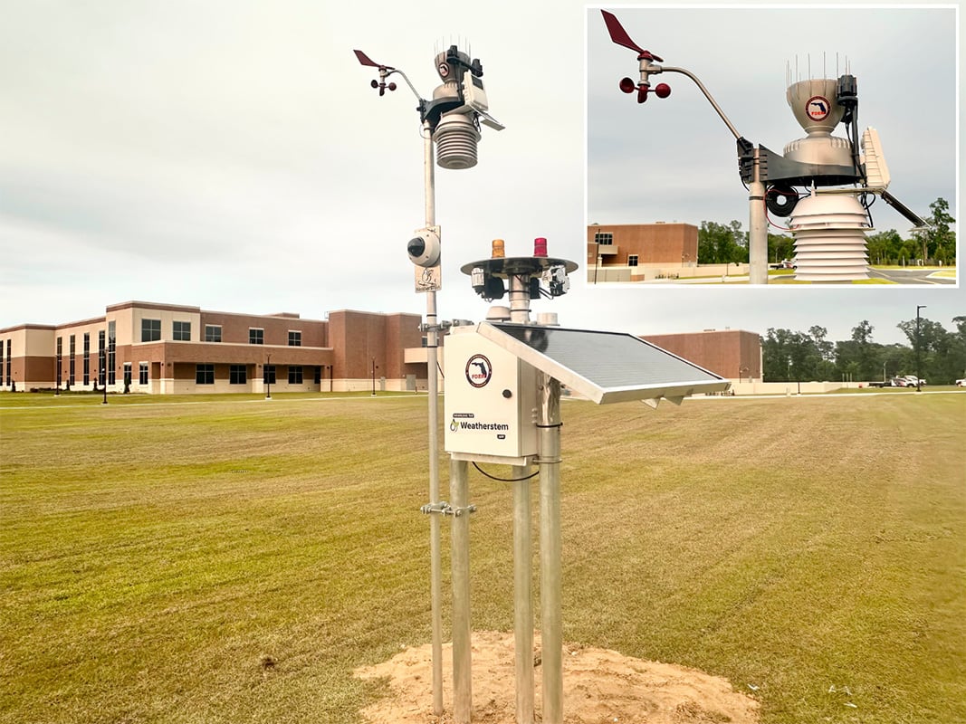
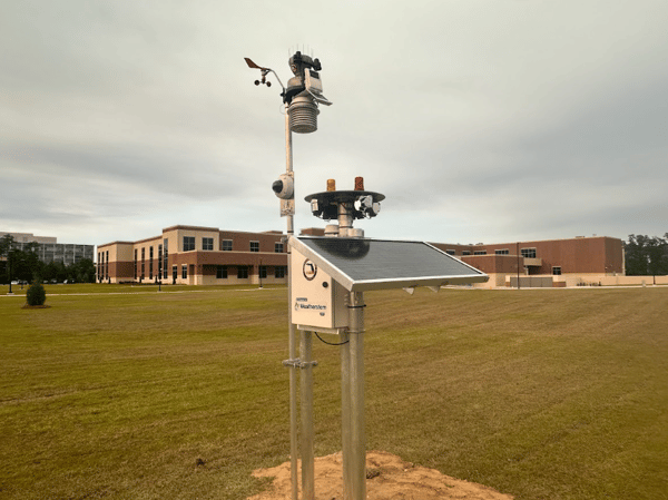
Automated alerts can be especially helpful during rapidly-changing weather events like hurricanes. Not only can alerts be established for when wind speeds reach a certain threshold for example but also when they go below that threshold. Local weather stations, especially those with live-streaming cameras, can provide insights into what the conditions around the area are. Even better is a dashboard that consolidates all information in a single view, making it simple to gauge exactly what is occurring in real-time.
See how Weatherstem helps emergency managers monitor real-time weather conditions, automate alerts, and improve hurricane situational awareness by scheduling a consultation with our team.
What Should Be Included in a Hurricane Monitoring Dashboard?
The following parameters should be included in a hurricane monitoring dashboard:
- Live weather station observations (wind speed, gusts, rainfall totals, temperature and humidity)
- Live camera feeds for visual verification
- Radar imagery
- Short-term and long-term forecasts
- Automated weather alerts
- Flood and water level monitoring
- Resource status information, including power outages and road closures
Having these parameters at your fingertips speeds up the decision making process, saving valuable time when it matters most.
Hurricane Weather Monitoring Checklist for EOCs
- Monitor sustained wind speeds and peak gusts
- Track rainfall totals across the jurisdiction
- Monitor flood-prone roadways and water levels
- Verify conditions using live cameras
- Establish operational weather thresholds
- Configure automated alerts
- Monitor responder heat stress risks during recover
- Document conditions for after-action reviews and disaster assistance
Conclusion
Hurricanes require rapid decisions under changing conditions. Real-time weather data improves situational awareness throughout preparedness, response, and recovery. Local observations allow emergency managers to understand what is happening on the ground and allocate resources more effectively.
EOCs need local observations, automated alerts, visual verification through cameras, and a centralized dashboard to maintain situational awareness throughout every phase of a hurricane. Together, these tools help emergency managers make faster, more informed decisions that protect both responders and the communities they serve.
How do emergency operation centers monitor hurricanes in real time?
Emergency operation centers monitor hurricanes using local weather stations, radar, forecasts, camera feeds, flood monitoring systems, and automated alerts. These tools provide situational awareness before, during, and after landfall.
What weather data is most important during a hurricane?
Wind speed, wind gusts, rainfall totals, flooding conditions, storm surge observations, lightning activity, and live camera imagery are among the most important weather data sources used during hurricane operations.
Why do emergency managers need local weather observations during hurricanes?
Conditions can vary significantly across a county or region during a hurricane. Local observations help emergency managers identify the hardest-hit areas, make deployment decisions, and determine when conditions are safe for field operations.

Weatherstem
Real-time weather monitoring built for compliance and life-safety decisions.
Professional hardware, dual lightning detection, automated alerts, and permanent data logging — installed and managed for you. Used by emergency management agencies, athletic programs, and government operations nationwide.
Book a Free Demo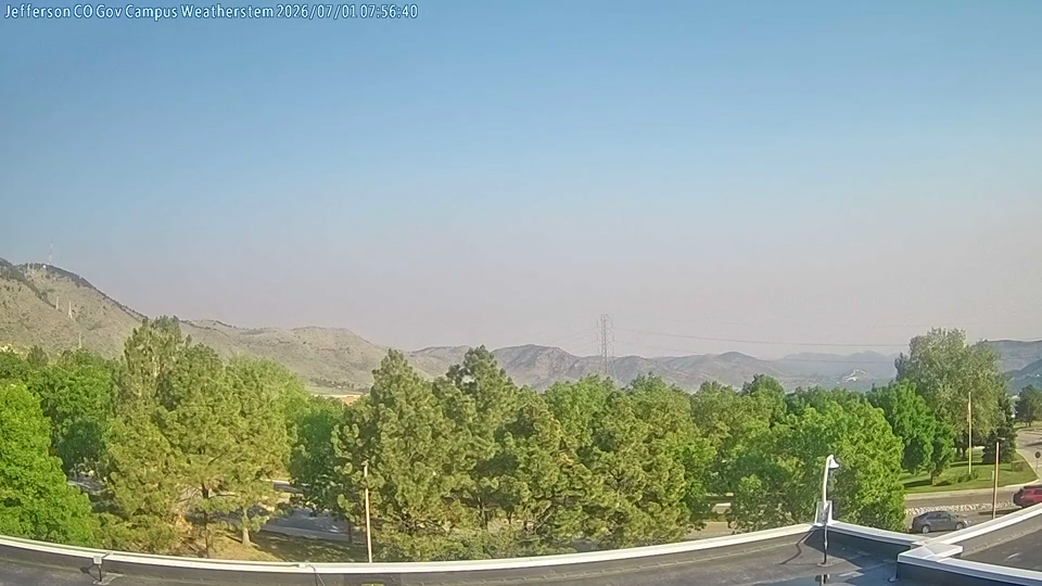
.jpg)